RidgeRat's Obscure Hike Site is retiring
Menu:
Goodbye from the RidgeRat
Even those of a wise, superior species — such as myself — eventually must yield to the passage of seasons. While I still enjoy basking in the alpine sunlight on top of the cozy rocks, high up on the high mountain ridges, amusing myself with your doings, I find that I can no longer stay on top of the latest news and the biggest rocks at the same time. I must give up one or the other... and that means this Web site is coming down. I hope you enjoyed your visits here. But if you didn't, that won't bother me as I sleep away the winter in my deep underground den.
You have arrived! Time to leave...
While this site is disappearing, you can be sure that the RidgeRat's bad attitude will live on.
Attention Web Masters, trail guides, and guidebook authors:
Photos used to produce images that appeared on this site over the years are being made available to YOU for whatever recreational, literary, or commercial purposes you have in mind. These are NOT being released to public domain because, for one thing, some jerk with a lawyer could try to claim ownership and copyright, to exclude your rights to use them. Consequently...
These materials are being released under the Creative Commons by Attribution 4.0 International License. Informally, the license allows copying, usage, and derivative works for individual or commercial purposes with few restrictions:
- You cannot copyright the images or claim proprietary rights to them.
- You cannot deny others their privileges of using these images.
- You can use the materials pretty much as you wish in your projects, sites, or publications.
- When you redistribute or publish, you must identify the owner of the image and state that the images are used by license.
For accurate and complete details of the license, see http://creativecommons.org/licenses/by/4.0/.
The Images
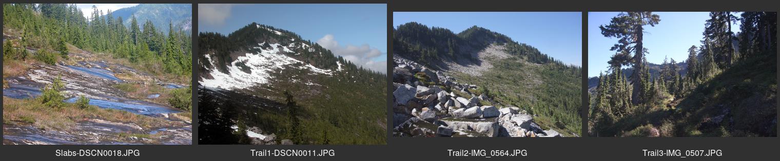
Images currently available are described in the catalog of Contact Sheet images, as listed below. Not included in the list are some older images that predate the "digital image" era — likely that things have changed quite a lot since then. But if you have interest in a specific area that you don't see listed, you can inquire about it.
Most of the images are unprocessed and need work before they are publication-ready. Most of them are in a high quality (low compression) JPEG format. If you need images in an appropriately "cooked" form (resolution, orientation, color space, aspect, file format, etc.) let me know and I can probably provide them in the form you want.
If you are interested in any of the images:
see the contact information following the
Contact Sheet table below.
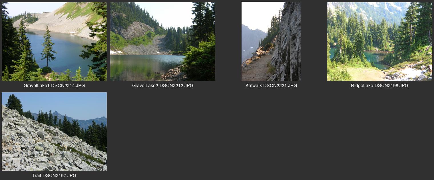
| — Contact sheet for AncientLakes.jpg | Quincy wildlife area, Douglas county |
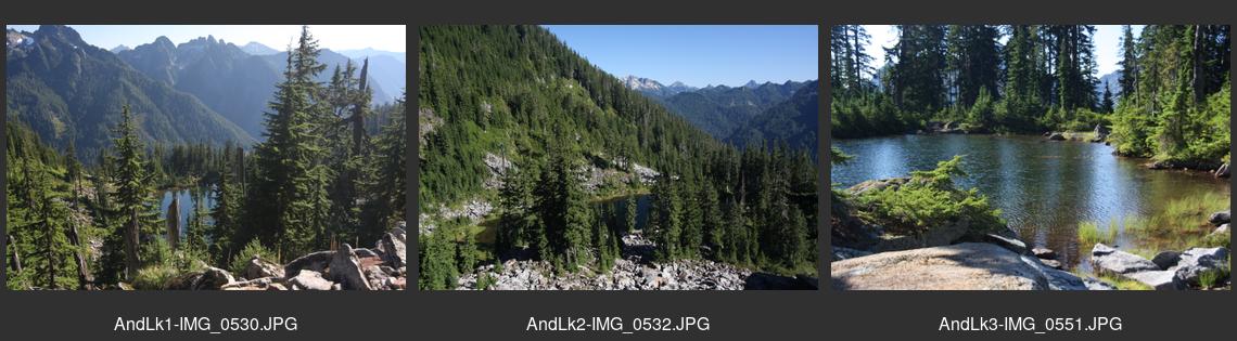
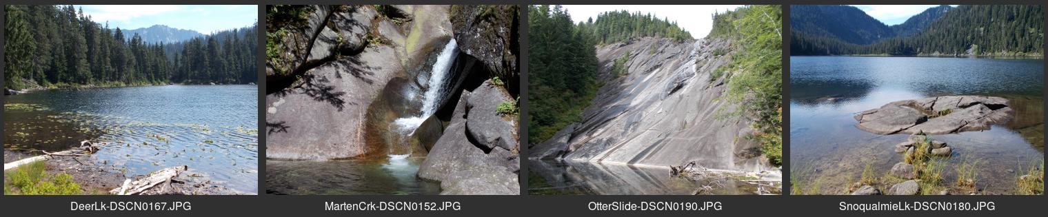
| — Contact sheet for AndersonLake.jpg | End of North Fork county road from North Bend |
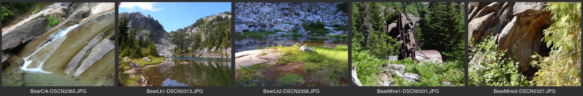
| — Contact sheet for BearBasin.jpg | Near end of North Fork county road from North Bend |
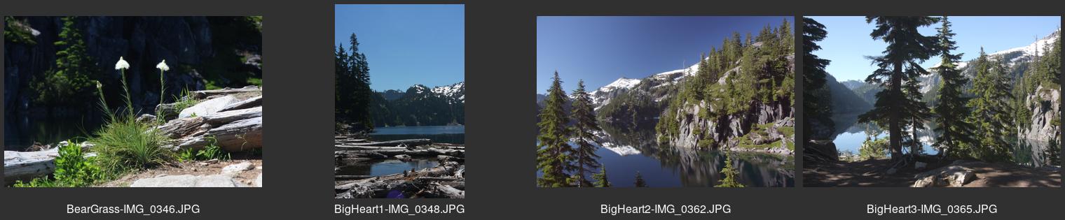
| — Contact sheet for BigHeartLake.jpg | Upper Foss River area south of Skykomish |
| — Contact sheet for BlethenLake.jpg | Taylor River area on Middle Fork Road north of North Bend |
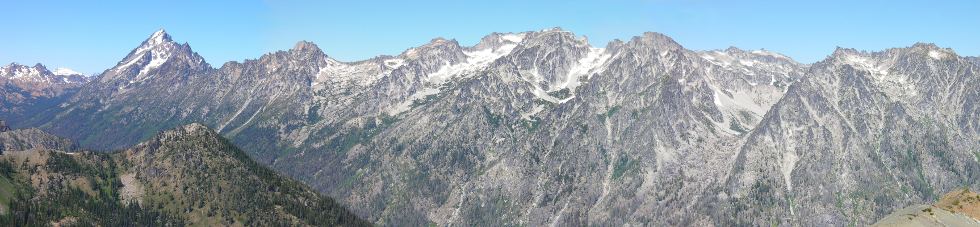
| — Contact sheet for Burroughs.jpg | Mt. Rainier National Park east side |
| — Contact sheet for Carolines.jpg | Enchantments Zone northwest of Eightmile Lake southwest of Leavenworth |
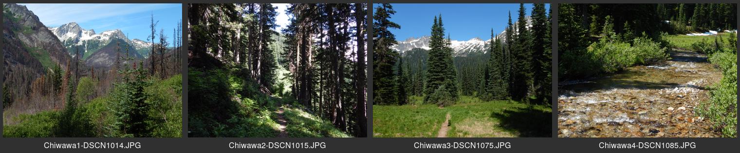
| — Contact sheet for Chiwawa.jpg | End of the Chiwawa River Road near Trinity site northeast of Lake Wenatchee |
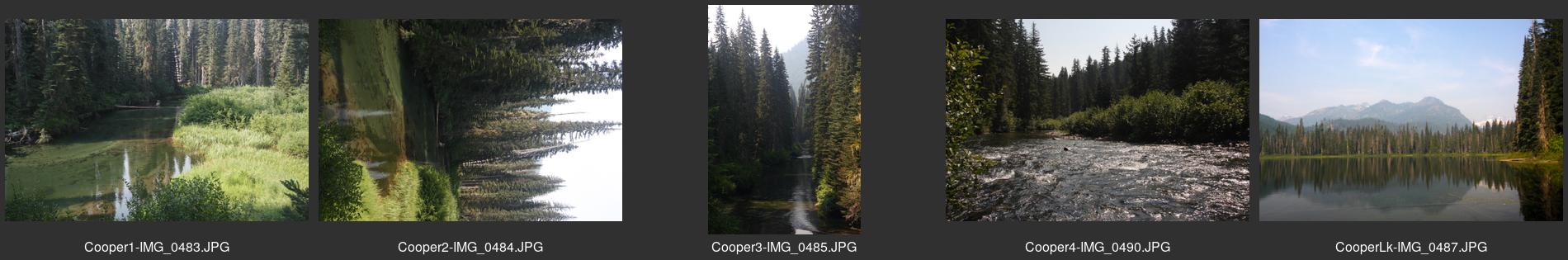
| — Contact sheet for Cooper.jpg | Cooper River from Salmon La Sac area north of Cle Elum |
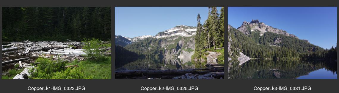
| — Contact sheet for CopperLake.jpg | Upper Foss River area south of Skykomish |
| — Contact sheet for CountyLineTrail.jpg | Teanaway River area north of Cle Elum |
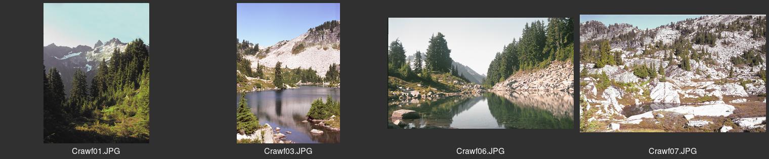
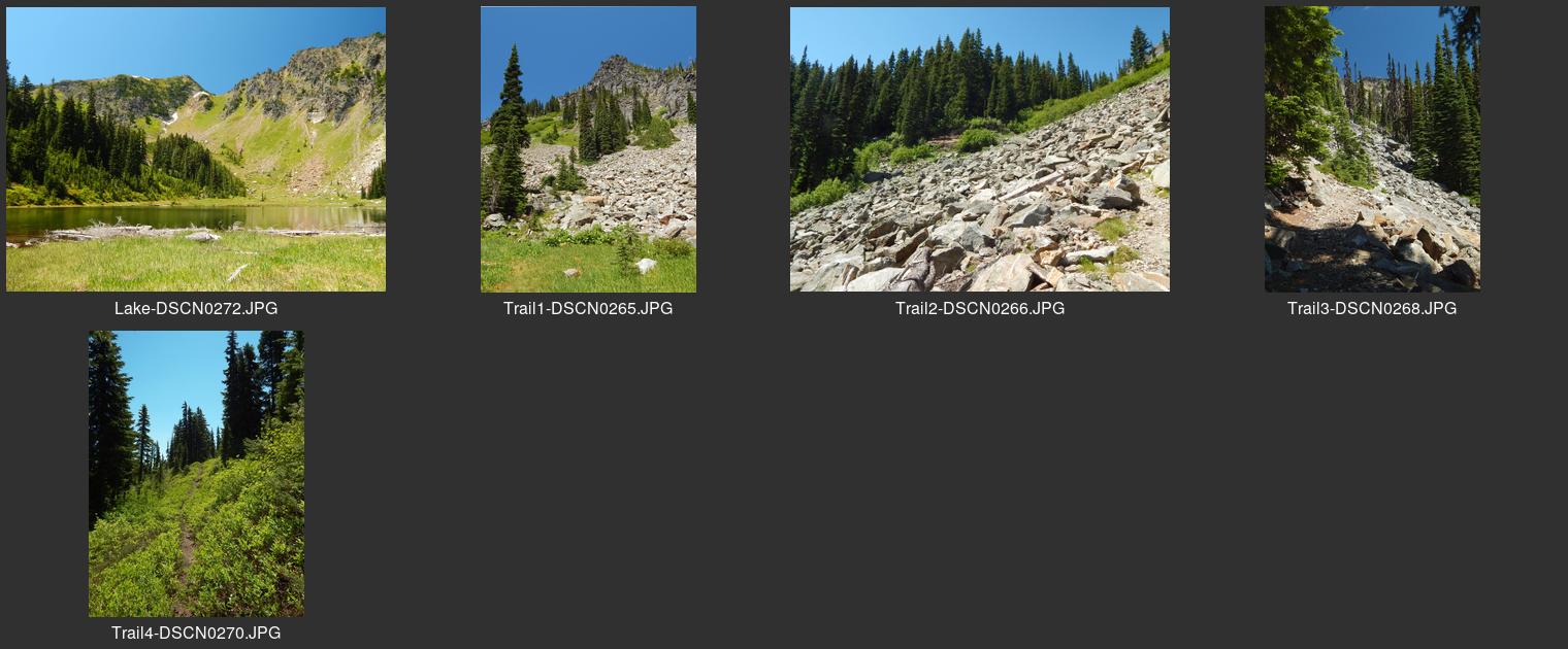
| — Contact sheet for CrawfordLake.jpg | Upper end of Middle Fork River north from North Bend |
| — Contact sheet for CrescentLake.jpg | Nason Ridge area north of Highway 2 east of Stevens Pass |
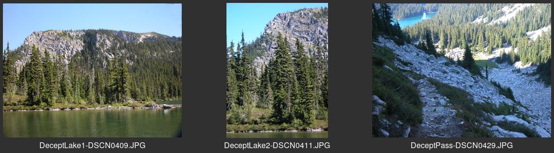
| — Contact sheet for DeceptionLake.jpg | On PCT south of Stevens Pass |
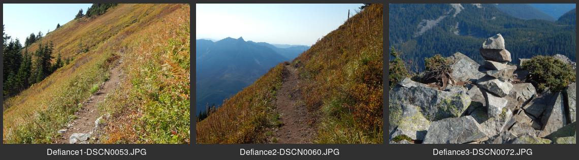
| — Contact sheet for Defiance.jpg | North of I-90 west of Snoqualmie Pass |
| — Contact sheet for DogTrail.jpg | Near end of North Fork Snoqualmie Road |
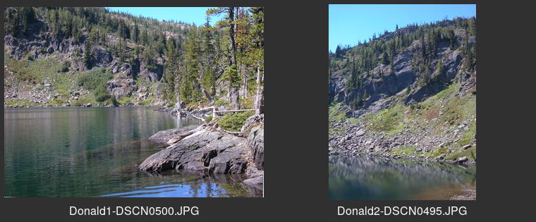
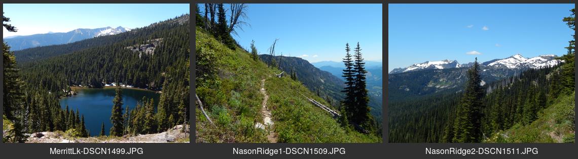
| — Contact sheet for Donald.jpg | Scottish Lakes area south of Highway 2 near Merritt |
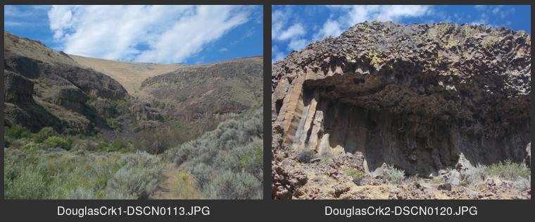
| — Contact sheet for DouglasCrk.jpg | Douglas County southeast of Waterville |
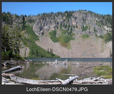
| — Contact sheet for LochEileen.jpg | Scottish Lakes area south of Highway 2 near Merritt |
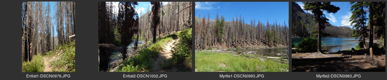
| — Contact sheet for Entiat.jpg | At end of Entiat River Road, Chelan County |
| — Contact sheet for EscondidoLake.jpg | Below PCT between Spectacle and Waptus lakes north of Cooper Lake |
| — Contact sheet for EthelLake.jpg | Scottish Lakes area south of Highway 2 near Merritt |
| — Contact sheet for FrenchRidge.jpg | End of Icicle Creek Road southwest of Leavenworth |
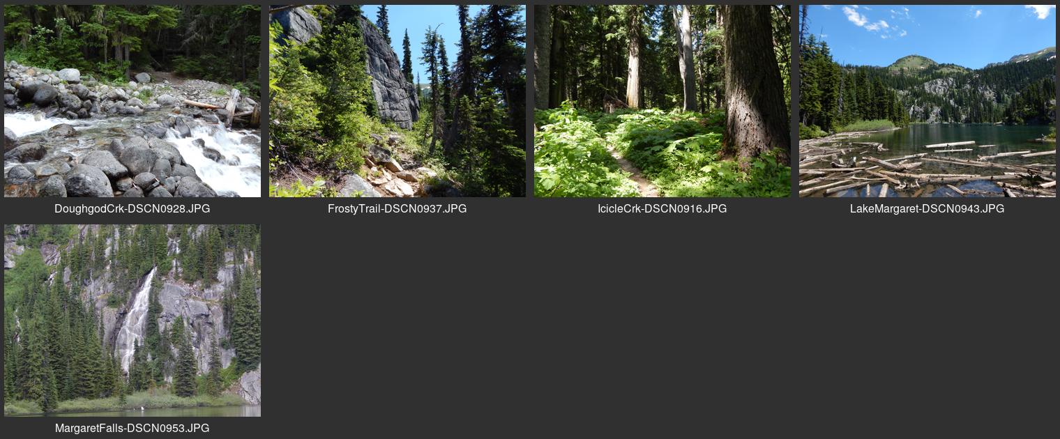
| — Contact sheet for FrostyCreek.jpg | End of Icicle Creek Road southwest of Leavenworth |
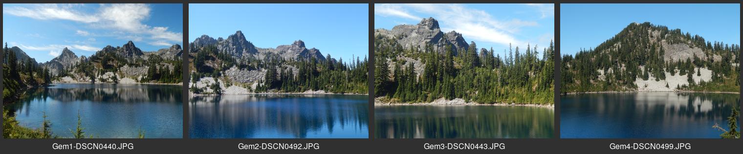
| — Contact sheet for GemLake.jpg | North from Snoqualmie Pass |
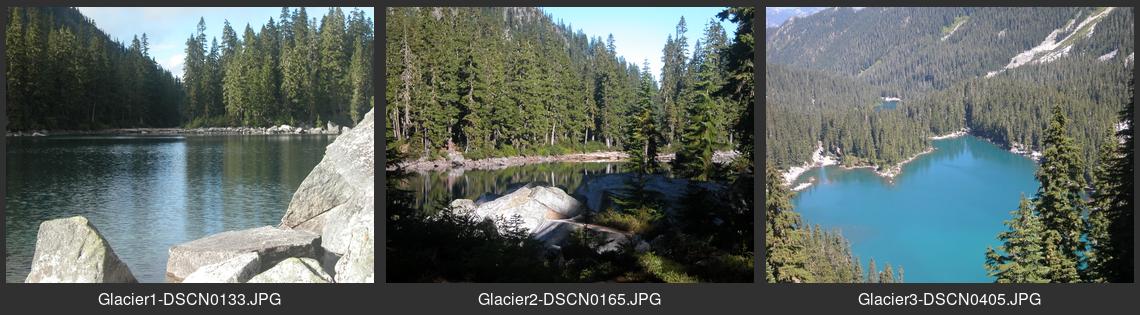
| — Contact sheet for GlacierLake.jpg | South of Highway 2 near Wellington site |
| — Contact sheet for GoatPeakLakes.jpg | End of the Cle Elum River road north of Salmon La Sac |
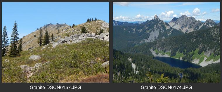
| — Contact sheet for GraniteMtn.jpg | North of I-90 west of Snoqualmie Pass |
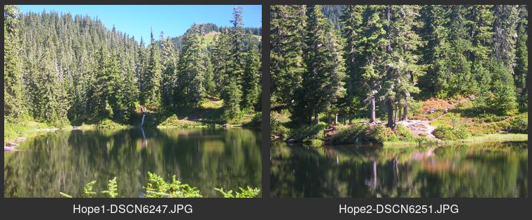
| — Contact sheet for HopeLk.jpg | From PCT or Trapper Creek trail southwest of Stevens Pass |
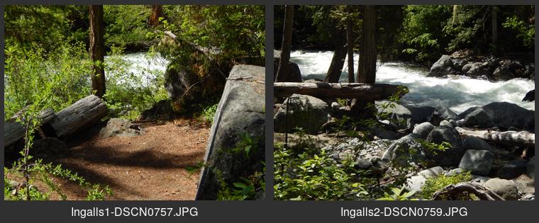
| — Contact sheet for IngallsCrk.jpg | Highway 97 southwest of Cashmere |
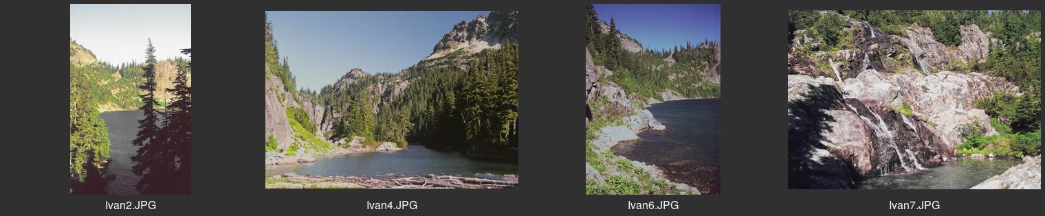
| — Contact sheet for IvanhoeLake.jpg | Near PCT north of Waptus River crossing |
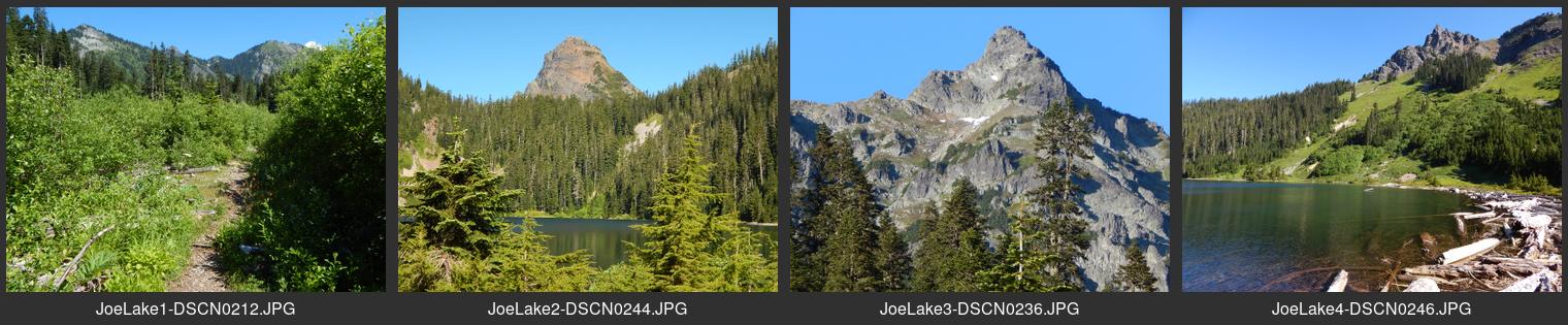
| — Contact sheet for JoeLake.jpg | Cascade crest north of Snoqualmie Pass via Gold Creek |
| — Contact sheet for JohnsonRidge.jpg | Northeast of Skykomish via Beckler River |
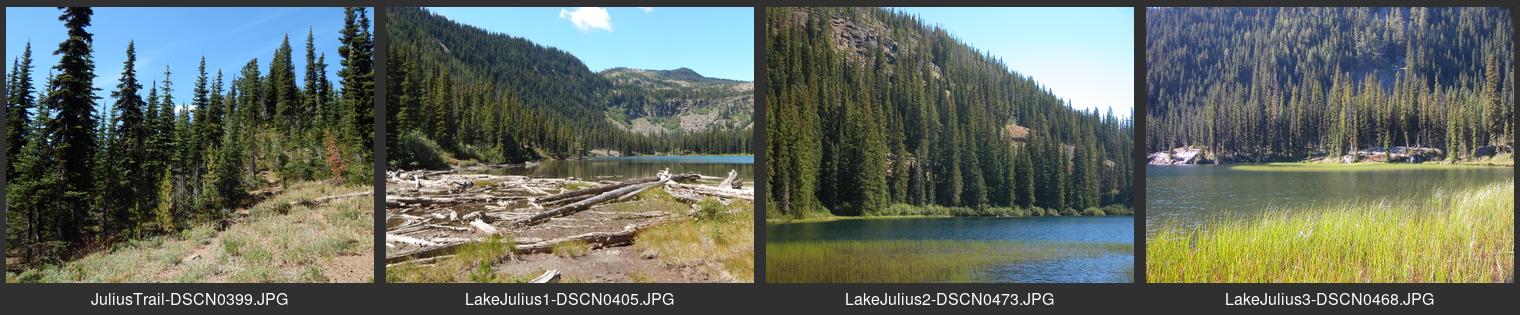
| — Contact sheet for LakeJulius.jpg | Scottish Lakes area south of Highway 2 near Merritt |
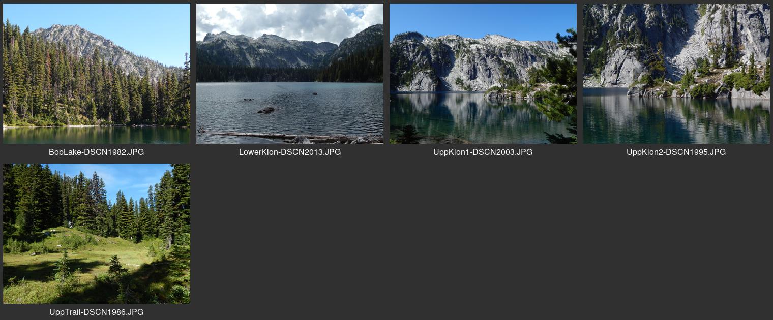
| — Contact sheet for KlonaquaLakes.jpg | Via French Creek at end of Icicle Creek Road southwest of Leavenworth |
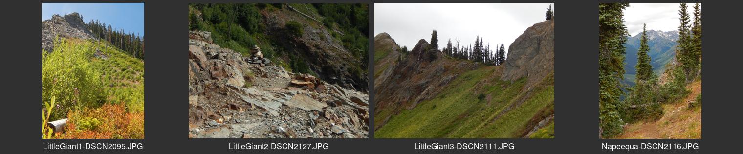
| — Contact sheet for LittleGiant.jpg | From Chiwawa River road near Trinity site northeast of Lake Wenatchee |
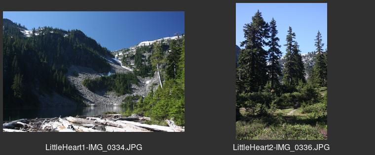
| — Contact sheet for LittleHeartLake.jpg | Upper Foss River area south of Skykomish |
| — Contact sheet for MalachiteLake.jpg | Upper Foss River area south of Skykomish |
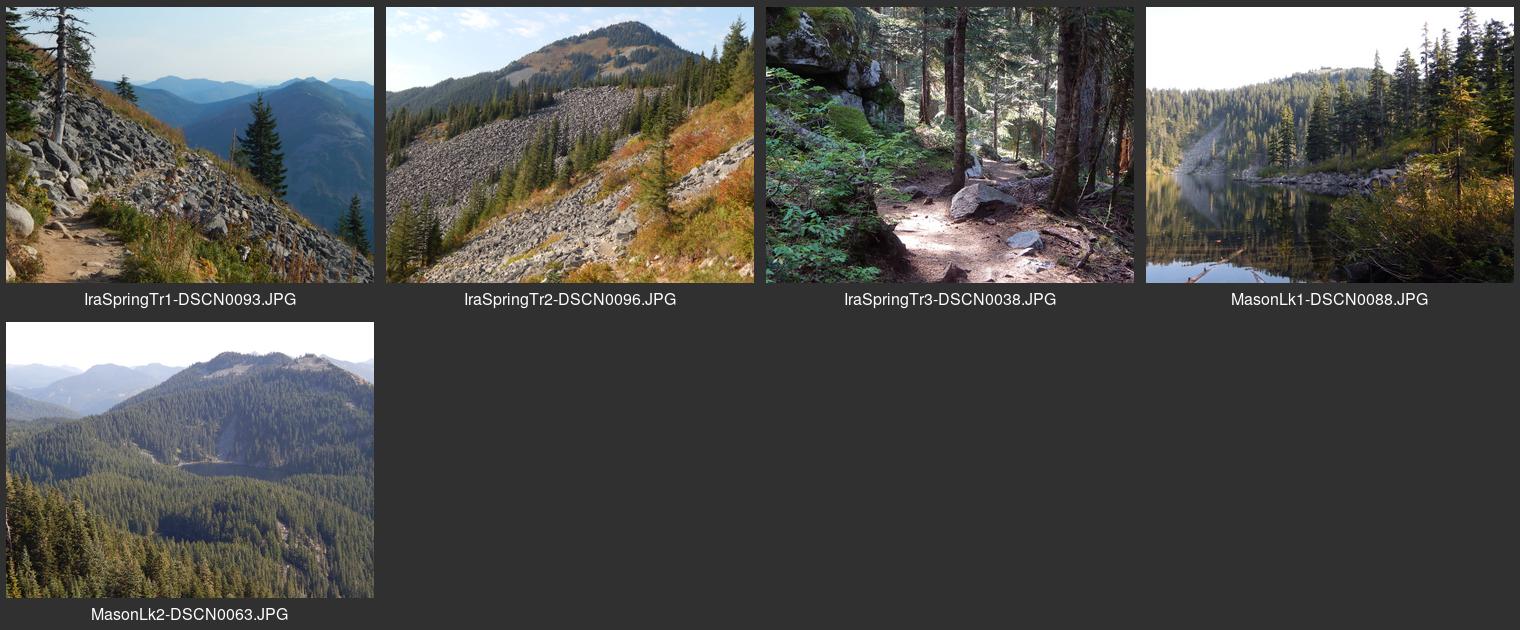
| — Contact sheet for MasonLake.jpg | North of I-90 east of North Bend |
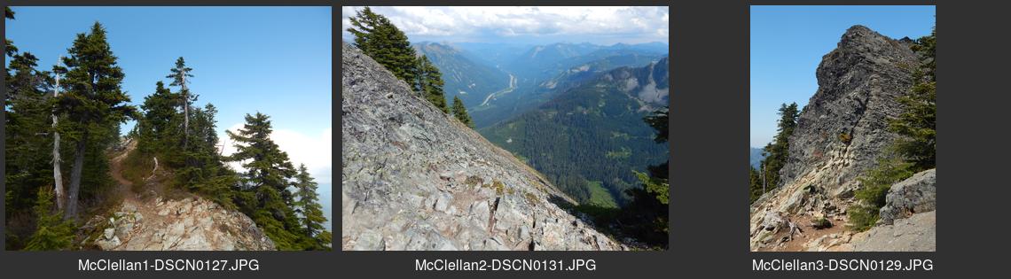
| — Contact sheet for McClellanButte.jpg | South of I-90 east of North Bend |
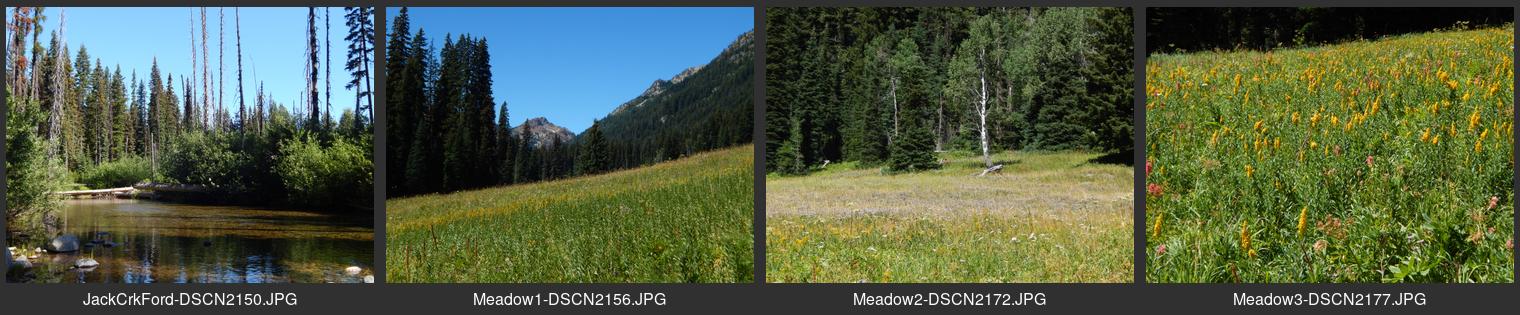
| — Contact sheet for MeadowCreek.jpg | Jack Creek trail from Icicle Creek Road southwest of Leavenworth |
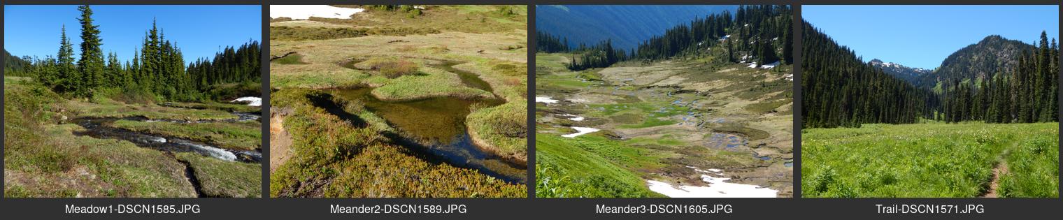
| — Contact sheet for MeanderMeadow.jpg | Via Little Wenatchee River Road north of Lake Wenatchee |
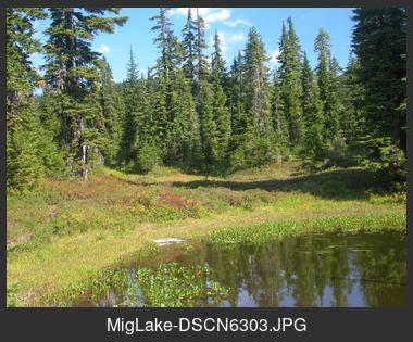
| — Contact sheet for MigLake.jpg | From PCT or Trapper Creek trail southwest of Stevens Pass |
| — Contact sheet for MissionRidge.jpg | At Mission Ridge ski area southwest of Wenatchee |
| — Contact sheet for NasonRidge.jpg | North of Highway 2 east of Stevens Pass near Merritt |
| — Contact sheet for NavahoPeak.jpg | Stafford Creek road via Teanaway Road northeast of Cle Elum |
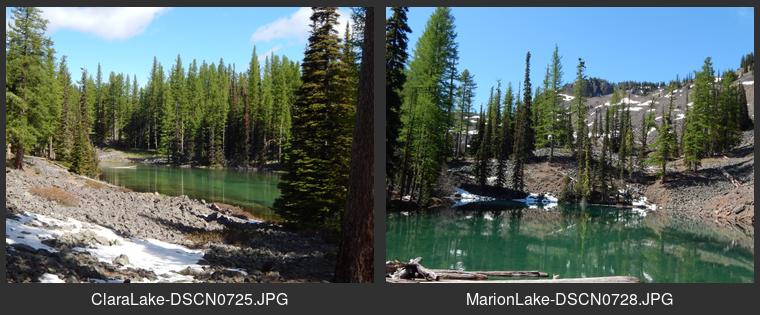
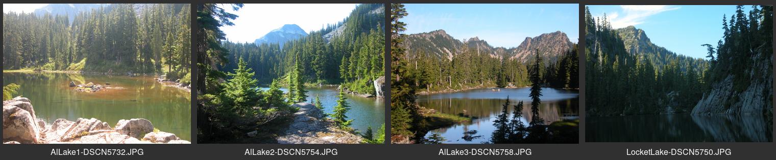
| — Contact sheet for Necklace-AlLake.jpg | Upper Foss River area south of Skykomish |
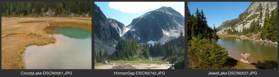
| — Contact sheet for Necklace-CloudyJewel.jpg | Upper Foss River area south of Skykomish |
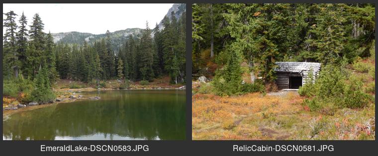
| — Contact sheet for Necklace-Emerald.jpg | Upper Foss River area south of Skykomish |
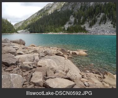
| — Contact sheet for Necklace-IllswootLake.jpg | Upper Foss River area south of Skykomish |
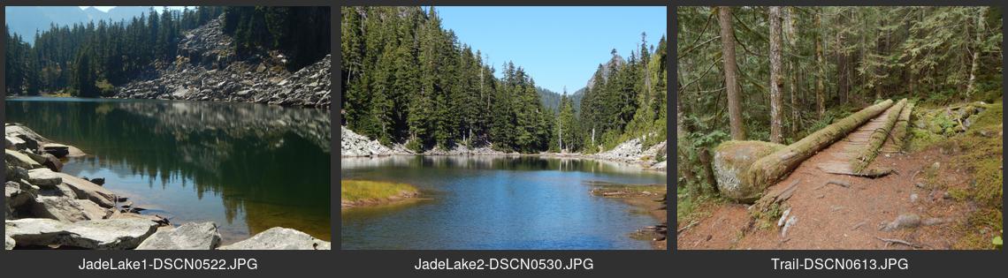
| — Contact sheet for Necklace-JadeLake.jpg | Upper Foss River area south of Skykomish |
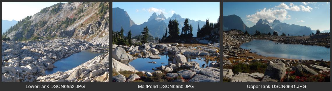
| — Contact sheet for Necklace-TankLakes.jpg | Upper Foss River area south of Skykomish |
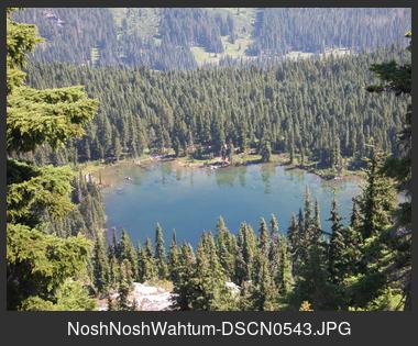
| — Contact sheet for NoshNoshWahtum.jpg | End of the Cle Elum River road north of Salmon La Sac |
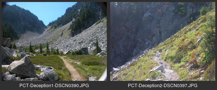
| — Contact sheet for PCT-Deception.jpg | On PCT south of Stevens Pass and north of Cle Elum River |
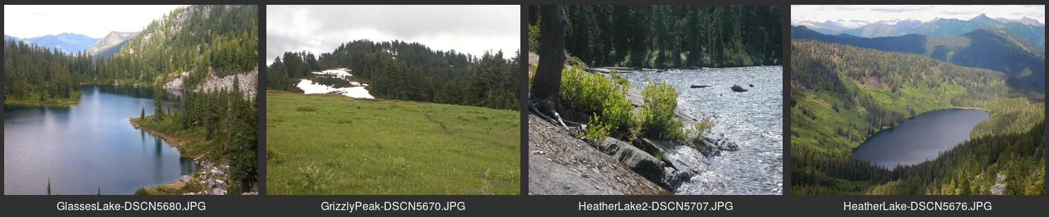
| — Contact sheet for HeatherGlassesLakes.jpg | From west side of Little Wenatchee River north of Lake Wenatchee |
| — Contact sheet for PCT-Kendall.jpg | PCT trail just north of Snoqualmie Pass |
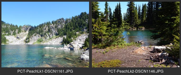
| — Contact sheet for PCT-PeachLake.jpg | Near PCT north of Grizzly Peak |
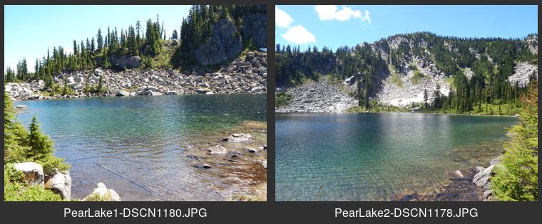
| — Contact sheet for PCT-PearLake.jpg | Near PCT north of Grizzly Peak |
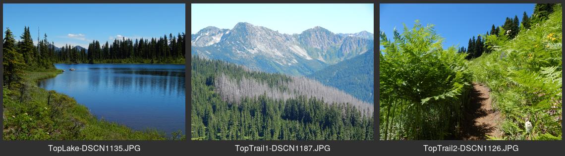
| — Contact sheet for PCT-TopLake.jpg | Near PCT north of Grizzly Peak |
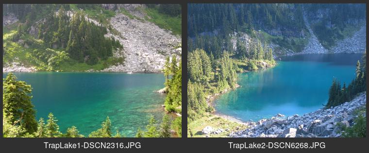
| — Contact sheet for TrapLake.jpg | Along PCT southwest of Stevens Pass |
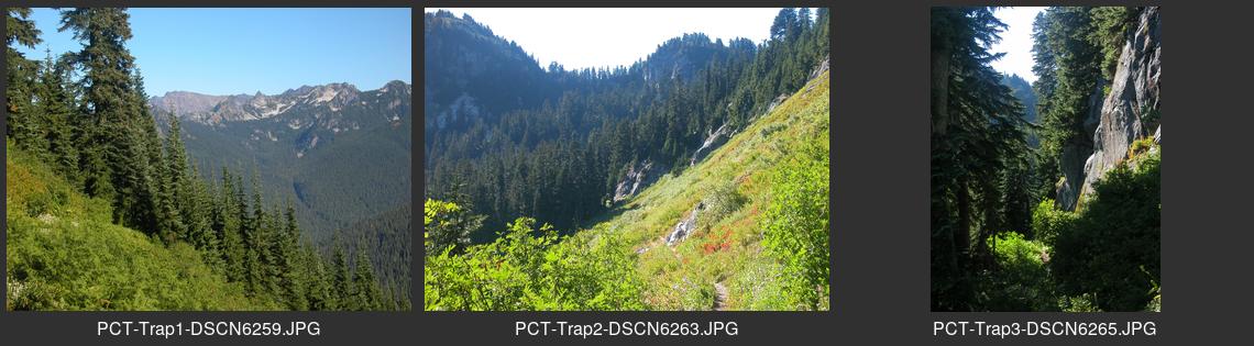
| — Contact sheet for PCT-TrapperCrk.jpg | PCT southwest of Stevens Pass |
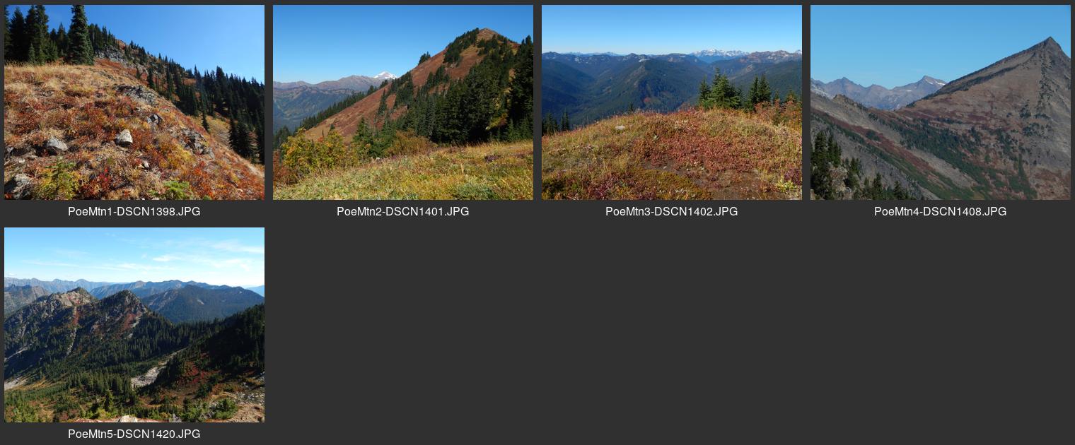
| — Contact sheet for PoeMountain.jpg | Via Little Wenatchee River Road north of Lake Wenatchee |
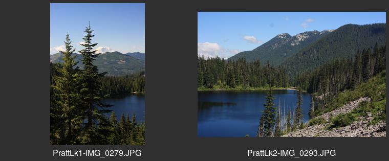
| — Contact sheet for PrattLake.jpg | North of I-90 west of Snoqualmie Pass |
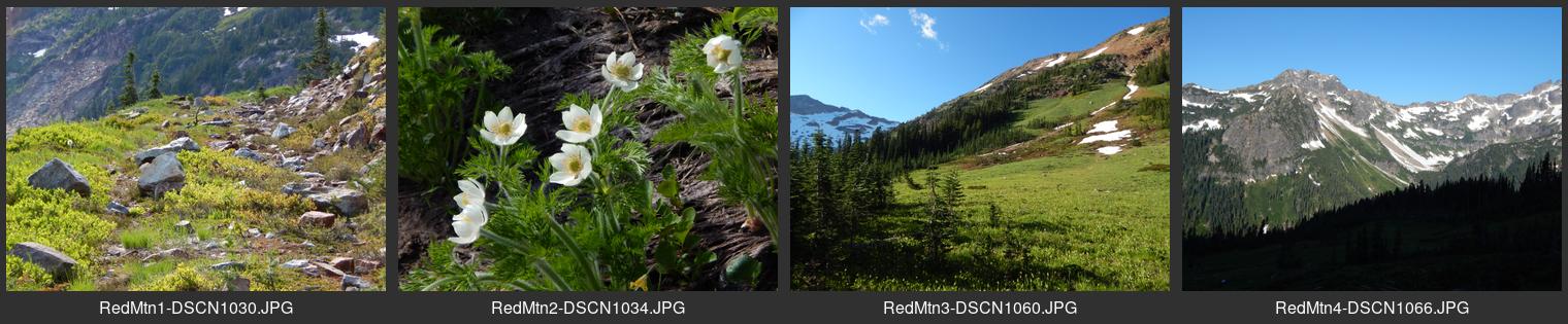
| — Contact sheet for RedMountain.jpg | From end of Chiwawa River Road at Trinity site northeast of Lake Wenatchee |
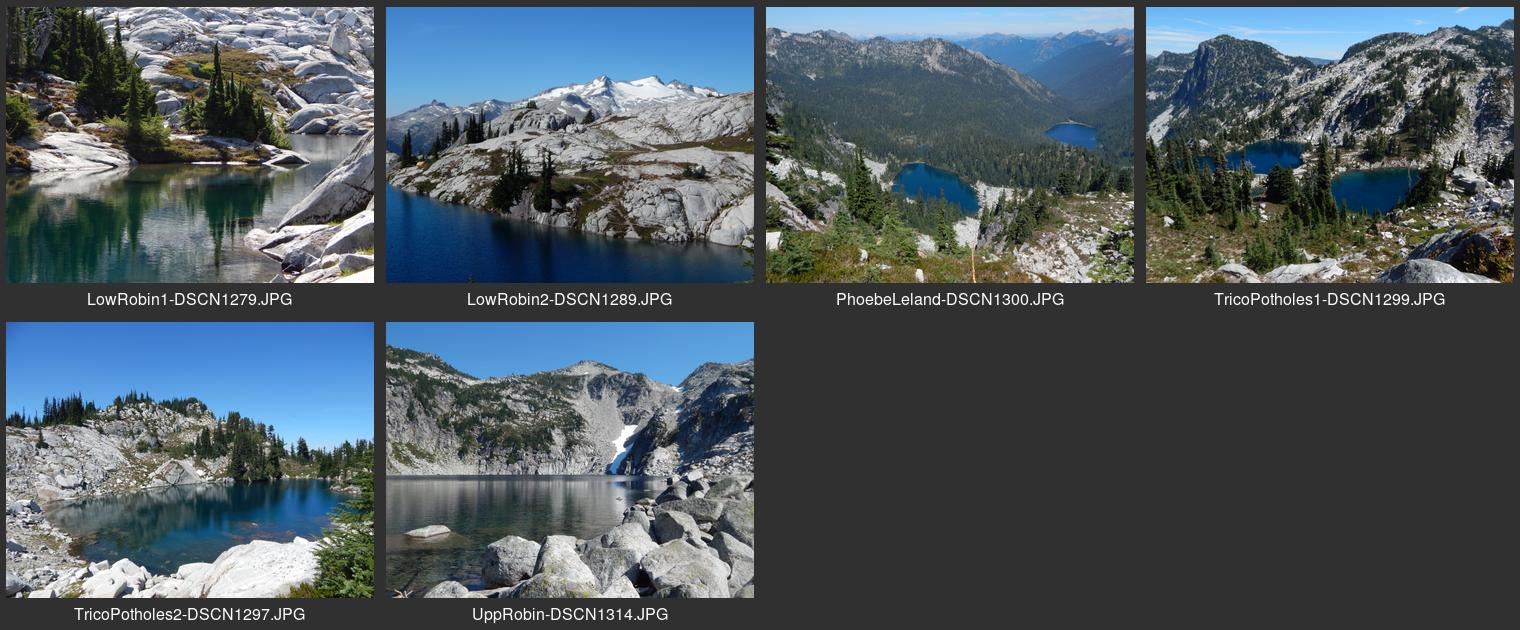
| — Contact sheet for RobinLakes.jpg | From the end of the Cle Elum River Road northeast of Salmon La Sac |
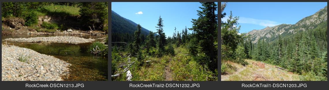
| — Contact sheet for RockCreek.jpg | East of the Chiwawa River road northeast of Lake Wenatchee |
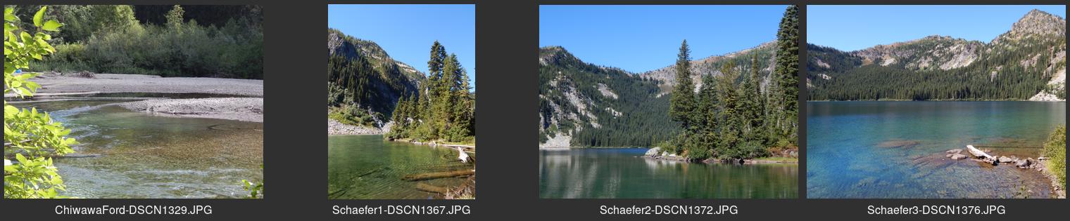
| — Contact sheet for SchaeferLake.jpg | West of the Chiwawa River road northeast of Lake Wenatchee |
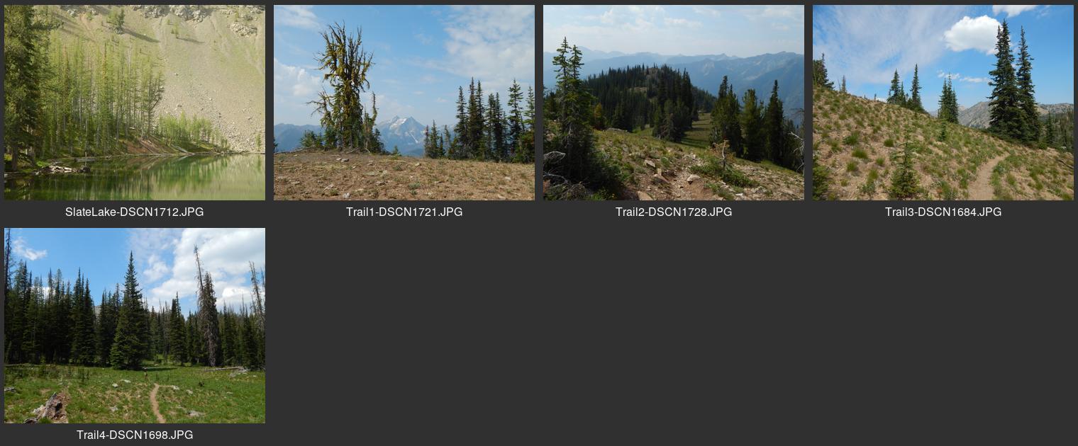
| — Contact sheet for SlateLake.jpg | North of the Twisp River southwest of Twisp |
| — Contact sheet for SnoqualmieLake.jpg | Taylor River area on Middle Fork Road north of North Bend |
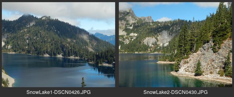
| — Contact sheet for SnowLake.jpg | From Alpental area north from Snoqualmie Pass summit |
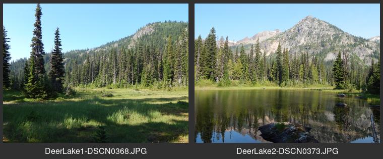
| — Contact sheet for PCT-DeerLake.jpg | Just west of PCT southwest of Deep Lake |
| — Contact sheet for PCT-SpinolaMeadow.jpg | Just east of PCT south of Deep Lake |
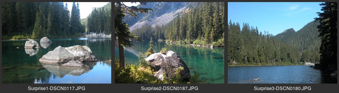
| — Contact sheet for SurpriseLake.jpg | South of Highway 2 southeast of Stevens Pass from Scenic site |
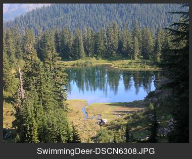
| — Contact sheet for SwimmingDeer.jpg | South of PCT south of Stevens Pass |
| — Contact sheet for SylvesterLk.jpg | North of the Rock Island camp on Icicle Road southwest of Leavenworth |
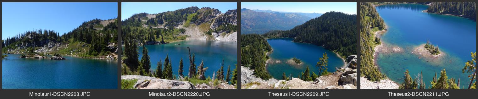
| — Contact sheet for Minotaur-Theseus.jpg | From Rainy Creek forest road northeast of Stevens Pass |
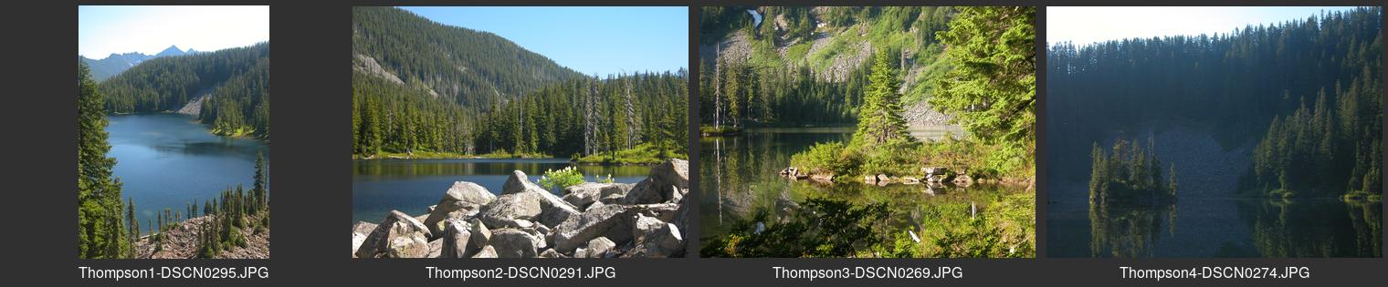
| — Contact sheet for ThompsonLake.jpg | Via Granite Creek trail on Middle Fork road north of Leavenworth |
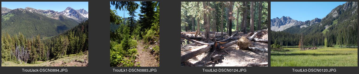
| — Contact sheet for TroutLake.jpg | South of the Rock Island camp on Icicle Road southwest of Leavenworth |
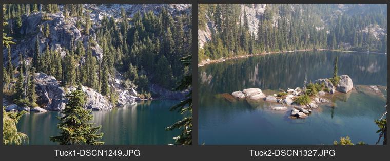
| — Contact sheet for TuckLake.jpg | From Deception Pass south of Deception Lakes on PCT |
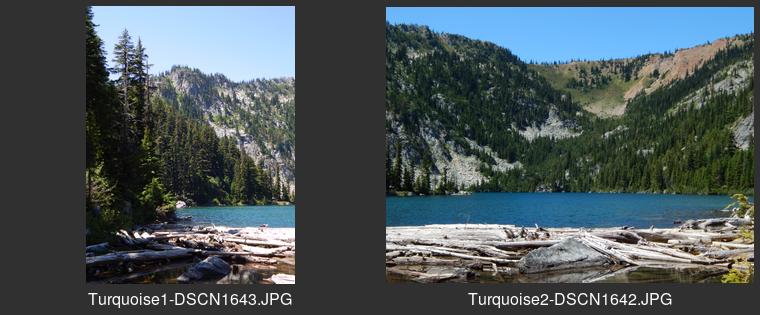
| — Contact sheet for TurquoiseLake.jpg | From the end of Icicle Creek road southwest of Leavenworth. |
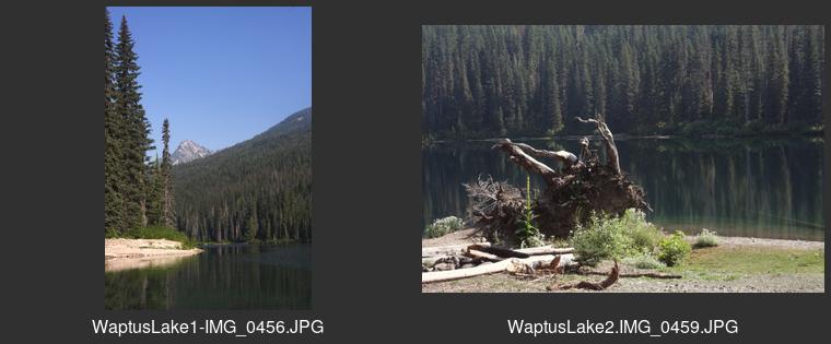
| — Contact sheet for WaptusLake.jpg | North of Salmon La Sac campground north of Cle Elum |
| — Contact sheet for WaptusPass.jpg | West of Waptus Lake north of Salmon La Sac campground |
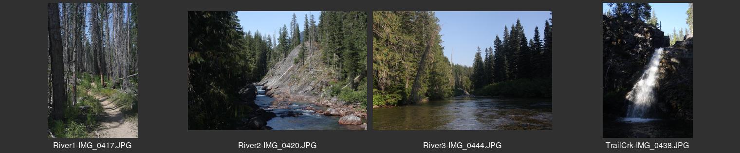
| — Contact sheet for WaptusRiver.jpg | North of Salmon La Sac campground north of Cle Elum |
| — Contact sheet for WildcatLakes.jpg | From Alpental area north from Snoqualmie Pass summit |
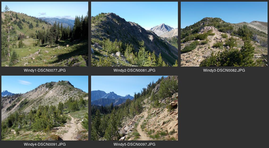
| — Contact sheet for WindyPass.jpg | Via Trout Lake or Eightmile Lake trails southwest of Leavenworth |
Contact info
By electronic mail at : ridgerat-web AT nwi DOT net
Find me via user name RidgeRat @ the Northwest Hiker Forum